
NEWS
Georgia Still Prepares as the Atlantic Posts Zero Hurricanes
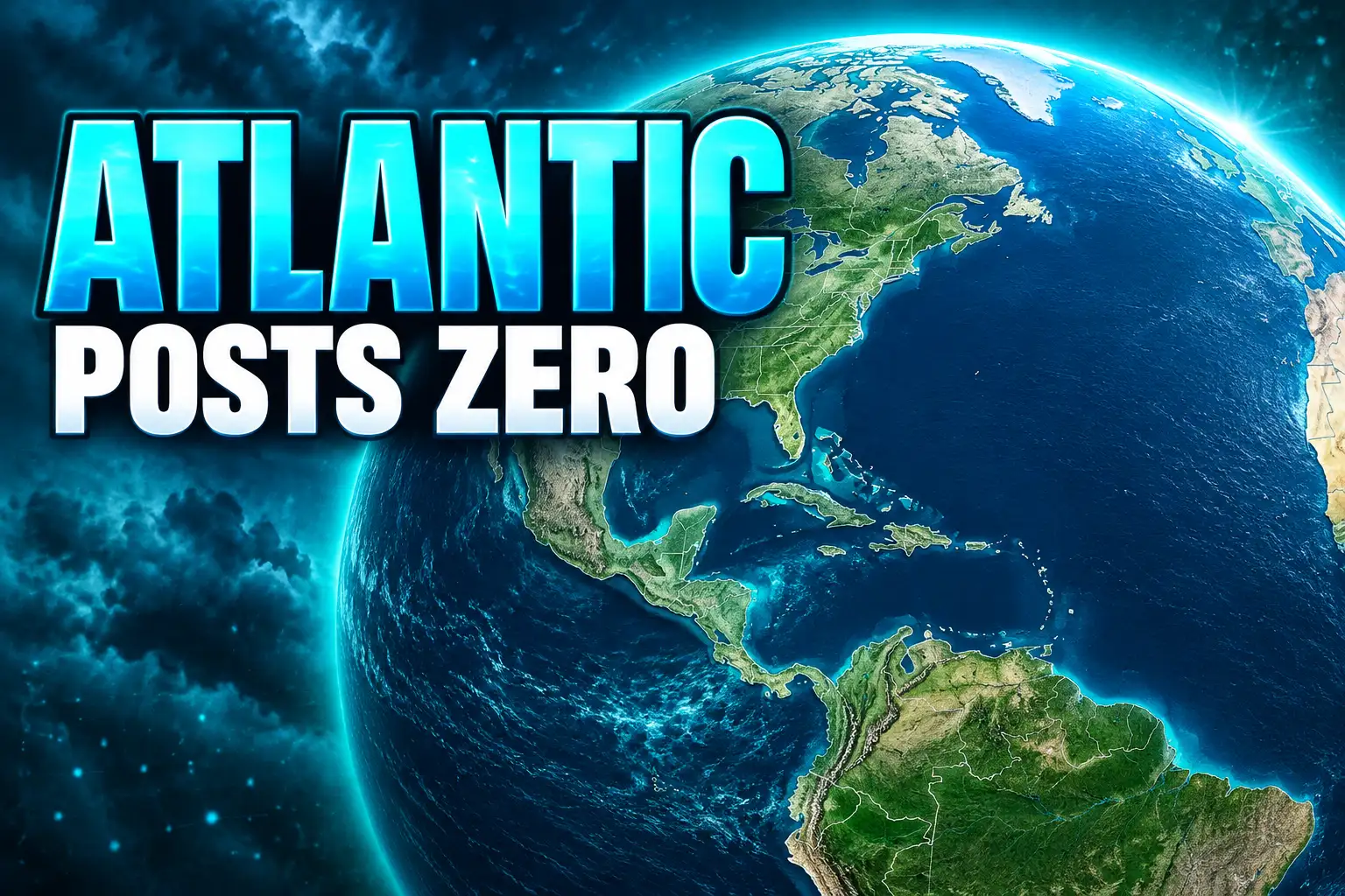
Georgia hurricane season planning continues after Helene even as the Atlantic sits at eight named storms and zero hurricanes.

The National Hurricane Center’s Oct. 3 tally listed eight named storms, zero hurricanes, zero U.S. damage and an energy index 89 percent below normal. Hanna, the last of those storms, faded on Sept. 30. No tropical cyclone was in the Atlantic that morning.
Georgia emergency officials spent the spring warning that a below-normal season was not a pass. Inland counties that took Hurricane Idalia in 2023 and Hurricane Helene in 2024 still treat that warning as standing orders.
Eight Named Storms and No Hurricanes
Through 09 UTC on Oct. 3, 2026, the center’s Atlantic summary showed eight named storms and no hurricanes, no major hurricanes, 10.8 units of accumulated cyclone energy, no direct deaths and $0 million in U.S. damage. Against 1991-2020 conditions for the date, that is three named storms, five hurricanes and two major hurricanes short.
THE 2026 ATLANTIC STORMS THROUGH OCT. 3
| Storm | Dates (UTC) | Max winds (kt) | Min. pressure (mb) | ACE |
|---|---|---|---|---|
| Arthur | 17 Jun-18 Jun | 40 | 999 | 0.4 |
| Bertha | 19 Jul-23 Jul | 50 | 995 | 2.2 |
| Cristobal | 12 Aug-13 Aug | 40 | 1008 | 0.4 |
| Dolly | 27 Aug-28 Aug | 35 | 1007 | 0.5 |
| Edouard | 31 Aug-02 Sep | 50 | 998 | 0.8 |
| Fay | 19 Sep-29 Sep | 60 | 995 | 3.8 |
| Gonzalo | 25 Sep-26 Sep | 45 | 1000 | 1.3 |
| Hanna | 28 Sep-30 Sep | 40 | 1002 | 1.3 |
Fay lasted the longest and came closest to hurricane strength, topping out at 60 kt, about 69 mph, still short of the 64 kt, 74 mph, hurricane line. Cristobal, Dolly, Gonzalo and Hanna were brief open-ocean systems. None of the eight has a U.S. damage figure on the center’s table.
Arthur formed in mid-June in warm Gulf water off the Texas coast and dumped heavy rain on parts of Louisiana, with tornadoes along the Gulf Coast, NOAA said. Bertha formed south of the Florida Panhandle and later made landfall in St. Bernard Parish, Louisiana. Those were the storms that reached U.S. land. Georgia does not appear in those tracks.
Inland Georgia Learned Its Lesson From Helene
The seasonal count is a basin score. South Georgia’s last two bad years were local. Hurricane Idalia knocked trees onto houses in Valdosta in 2023 and cut power across the city. Thirteen months later, Helene came through Lowndes County and hit many of the same streets again.
Daniel Shahan, his wife and their dogs survived trees crashing onto their Valdosta home in Idalia. After Helene, no tree hit the house directly, but a blue tarp still covered the section of roof Idalia had opened. Hundreds of staples and nails held that sheet through Tropical Storm Debby, Helene and later heavy rain.
THE SOUTH GEORGIA STORM YEARS
- Late August 2023: Hurricane Idalia moves inland through Valdosta, dropping trees and cutting power across much of the city.
- 2024: Tropical Storm Debby and then Hurricane Helene track well inland, with Helene again raking Lowndes County.
- May 2026: Local officials still describe roofs under tarps and downed trees that never got cleared, and they use Hurricane Preparedness Week to push new kits.
- June 6, 2026: State emergency managers tell residents a quieter Atlantic outlook is not a reason to stand down.
- Oct. 3, 2026: The Atlantic still has no hurricane, and Georgia still has no 2026 named-storm landfall on the books.
Meghan Barwick, public information officer for Lowndes County Emergency Management, said she lost power for 14 days after Helene because lines on her street were down or snapped. That outage, not a new 2026 cone, is why the county changed its kit advice.
Why Officials Refuse a Quiet-Season Stand-Down
A Georgia Emergency Management and Homeland Security Agency spokesperson said in June that even with a chance of below-average tropical activity, one storm is enough for Georgians to be hurt, so the state has to be ready. That line was issued when NOAA still expected some hurricanes. It is the same line counties are using after a peak season that produced none.
Inland rainfall is a major cause of damage from tropical storms and hurricanes, as Arthur demonstrated. That’s why it’s important to prepare for every storm that’s projected to impact your area, even if it never reaches hurricane strength.
Ken Graham, National Weather Service director, NOAA August outlook
State guidance already treats hurricanes as an inland problem. GEMA’s hurricane pages walk through watches, warnings and inland risks, and they note that storms can do catastrophic damage hundreds of miles from the coast. Idalia and Helene are the local proof, not the 2026 track map.
Ashley Tye, director of Lowndes County Emergency Management, said during preparedness week that no one knows how much impact a season will have. The 2026 count is historically low. The county’s message did not move with it.
The El Niño Shear That Stopped Intensification
NOAA’s May 21 outlook gave a 55 percent chance of a below-normal season, a 35 percent chance of a near-normal season and a 10 percent chance of an above-normal season, with 70 percent confidence in ranges of 8-14 named storms, 3-6 hurricanes and 1-3 major hurricanes. A typical season, the agency said, is about 14 named storms, seven hurricanes and three major hurricanes.
On Aug. 6, with Arthur and Bertha already in the books, NOAA tightened those ranges to 7-13 named storms, 2-6 hurricanes and 0-2 major hurricanes, and raised the below-normal chance to 75 percent, with 20 percent near-normal and 5 percent above-normal. Matt Rosencrans, NOAA’s lead hurricane-season forecaster, said that when El Niño emerges it usually becomes the dominant factor in total activity, and that this event was still getting stronger each month.
FORECAST VERSUS THE OCT. 3 COUNT
| Outlook | Named storms | Hurricanes | Major hurricanes |
|---|---|---|---|
| NOAA, May 21 (season total) | 8-14 | 3-6 | 1-3 |
| NOAA, Aug. 6 (season total) | 7-13 | 2-6 | 0-2 |
| NHC actual through Oct. 3 | 8 | 0 | 0 |
| NOAA typical full season | 14 | 7 | 3 |
Named-storm frequency landed in the low end of both NOAA ranges. Hurricane frequency fell through the bottom of the August range. Florida meteorologist Matt Devitt noted in mid-September that the wait for a first hurricane had already become the latest in the satellite era, which begins in 1966, and that only 1907 and 1914 failed to record a hurricane in an entire modern season. The previous satellite-era marks for a first hurricane this late were Sept. 11 in 2002 and 2013.
El Niño raises vertical wind shear over the tropical Atlantic, which tilts and dries a storm before it can build a warm core. Phil Klotzbach, a Colorado State University meteorologist, has described shear since July as sitting at the top of the record that starts in 1979. The same pattern feeds the eastern Pacific. NOAA’s August Pacific outlook stayed at 15-22 named storms, already above average, and by then the eastern Pacific had seven named storms, two hurricanes and one major hurricane. On Oct. 3 the hurricane center was still issuing advisories on Hurricane Nolo west of Hawaii and Hurricane Rachel south-southwest of Baja California, while it expected no Atlantic formation for a week.
That split is the season’s other fact. Online argument has treated a blank Atlantic peak as a climate-scoreboard item. The mechanics on the map are simpler. Shear is winning in one basin and losing in the other, which is what a strong El Niño is built to do.
What Belongs in a Georgia Ready Kit
GEMA still tells households to last at least 3 days without stores or power. After Helene, Lowndes County told residents to plan for more than four. Barwick said the county changed that message in the past year because four days was not enough on her own street.
GEMA READY KIT
- Water: One gallon per person per day, for at least 3 days, for drinking and hygiene.
- Food: At least a 3-day supply of non-perishable food, plus a can opener if the cans need one.
- Power and light: A battery-powered or hand-crank radio, a NOAA Weather Radio with tone alert, extra batteries, a flashlight and an emergency charger for phones.
- First aid and hygiene: A first aid kit, whistle, face mask, disinfectant wipes, hand sanitizer, moist towelettes, garbage bags and plastic ties.
- Tools and records: Wrench or pliers to shut off utilities, local maps, copies of insurance, ID and bank records in a waterproof container, plus medications, glasses, infant and pet supplies if those apply.
The three-day Ready kit checklist is the state’s floor, not the Lowndes ceiling. GEMA also wants a family communications plan, a portable kit for the car, and a look at the state’s hurricane evacuation-zone map. A tropical storm or hurricane watch means those winds are possible within 48 hours. A warning means they are expected within 36 hours, and the instruction is to leave if local officials say so. Keep a half tank of gas in ordinary time and a full tank if an evacuation looks likely, because stations fail when the power fails.
Those are also the federal hurricane preparedness steps in plainer form: know the zone, pack before the cone is over your county, and do not wait for a hurricane-strength label. Graham’s Arthur point was that rain and tornadoes from a tropical storm are enough.
Valdosta’s $2 Million Stormwater Bet
The quiet basin has not paused the bill from the loud years. On Feb. 12, 2026, the City of Valdosta said it had been awarded a $2 million stormwater grant from the Georgia Department of Community Affairs through the OneGeorgia Hurricane Disaster Relief Effort for fiscal year 2026. The money is for drainage upgrades meant to cut flood risk in neighborhoods and roads that recent storms already soaked.
Barwick has been telling residents to sit down with their homeowners insurance before the next cone, not after. She said the last two years left people discovering that flood damage or a roof hit might not be covered. Jackie Shoemaker, executive director of the local Red Cross, said the chapter is trying to add local volunteers so it is not pulling crews from outside the area every time.
That is the second-order cost of a hurricane-free Atlantic season in Georgia. The grant, the insurance calls and the tarp nails are work from 2023 and 2024. A blank 2026 peak does not reverse them. It only removes the new debris pile that officials still plan against.
A Gulf Window After the Peak
The season runs from June 1 through Nov. 30. Climatology still gives October a path, most often from the western Caribbean and the Gulf, even in a suppressed year. Colorado State University forecasters have pointed to a possible tropical system in the southern Gulf between Oct. 8 and 13. That is a watch window, not a named storm.
The hurricane center’s Oct. 3 tropical weather outlook said tropical cyclone formation is not expected in the Atlantic, Caribbean or Gulf for the next seven days. Lowndes County is still telling residents to build kits that last more than four days, a rule written after Helene, not after a hurricane that never formed in 2026.

Greed Held After a $697 Million Crypto Long Flush

Fed Minutes Keep a Year-End Rate Hike Alive

A Nanny-Cam Tape Follows Tyreek Hill Into Free Agency

Star Wars Galactic Racer Makes a Crash End the Tour

Amazon Puts Apple’s June MacBook Prices Back on Sale

Sophia Wootten Turns the Miss Georgia Crown Toward Cleft Care

The iPhone 16 Pro Flipkart Cut Did Not Last

Microsoft Prints Azure’s $29.42 Billion Quarter and Shrinks the Map

UltraTech’s Ultravolt Launch Puts Cable Multiples on Trial

IXI Autofocus Glasses Still Lack a European CE Mark
-
 NEWS1 year ago
The iPhone 16 Pro Flipkart Cut Did Not Last
-
 ENTERTAINMENT4 months ago
Sophia Wootten Turns the Miss Georgia Crown Toward Cleft Care
-
 BUSINESS1 month ago
UltraTech’s Ultravolt Launch Puts Cable Multiples on Trial
-
 NEWS1 month ago
Microsoft Prints Azure’s $29.42 Billion Quarter and Shrinks the Map
-
 NEWS9 months ago
IXI Autofocus Glasses Still Lack a European CE Mark
-
 NEWS3 months ago
Little St. Simons Island Hatches Loggerheads at 72.4 Percent
-

 NEWS4 months ago
Georgia Beach Bacteria List Leaves Swim Areas Open
-

 NEWS3 years ago
Eyal Waldman Keeps a Two-State Bet After Gaza