Georgia’s National Environment Agency has warned of intermittent rain across most of the country from August 13 to 15, with heavy falls possible in multiple regions and a moderate risk of flooding on small rivers plus landslides or mudflows in hilly terrain.
Thunderstorms, hail and strong winds can accompany the rain. The alert covers western districts first, then shifts east, landing squarely in the middle of the country’s busiest tourist weeks.
What the Agency Put on Record
On August 13-14 heavy rain is forecast in parts of Adjara, Guria, Samegrelo-Zemo Svaneti, Racha-Lechkhumi and Kvemo Svaneti, Samtskhe-Javakheti, Kvemo Kartli and Kakheti. On August 15 the focus moves to some areas of Kvemo Kartli, Kakheti and Mtskheta-Mtianeti.
The agency said expected heavy precipitation may cause flooding on small rivers, while landslide and mudflow processes may develop or become more active in hilly and mountainous areas. It rated the overall hazard level moderate.
- Period covered: August 13-15
- Core hazards: heavy rain, thunderstorms, hail, strong winds
- Secondary risks: small-river flooding, landslides, mudflows
- Hazard rating: moderate
Officials typically urge drivers to avoid flooded roads, keep clear of steep embankments after intense showers, and check updates before inter-regional travel. The agency maintains hydrometeorology forecasts and disaster warnings plus a mobile app and hotline 1501 for early alerts.
Western Slopes First, Then the East
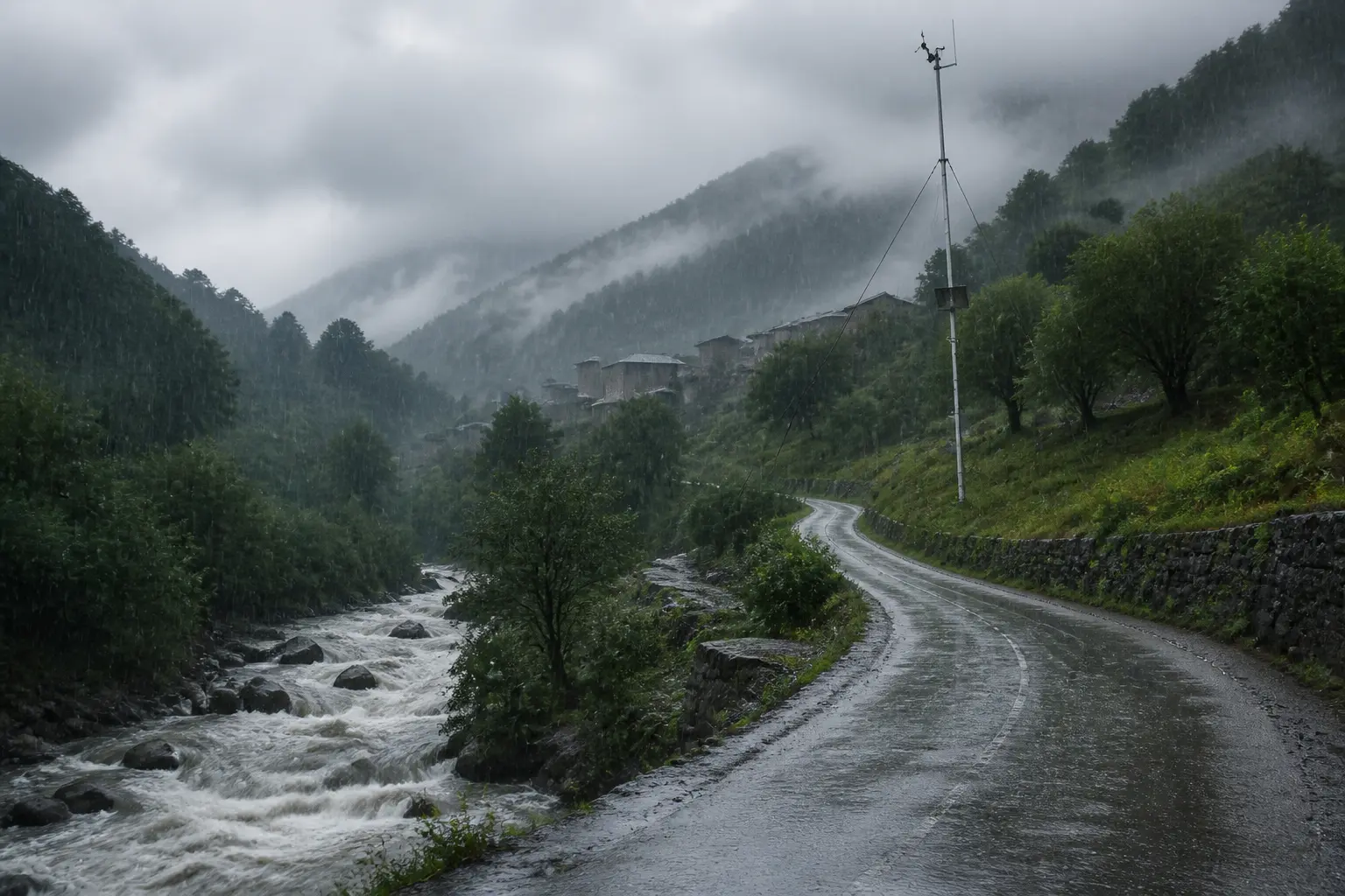
Western Georgia often takes the sharpest summer convection when moisture builds over the mountains and the Black Sea coast. Local intensity can change within a few kilometres in a single afternoon.
| Date window | Primary regions named | Notes |
|---|---|---|
| 13-14 August | Adjara, Guria, Samegrelo-Zemo Svaneti, Racha-Lechkhumi and Kvemo Svaneti, Samtskhe-Javakheti, Kvemo Kartli, Kakheti | Heaviest focus on west and selected east/south zones |
| 15 August | Kvemo Kartli, Kakheti, Mtskheta-Mtianeti | Eastern and northern districts |
Black Sea coastal districts and inland western valleys frequently see the strongest bursts. Eastern wine country and the approaches to the capital sit under the later phase of the same unsettled spell.
Floods and Slopes Carry the Real Cost
Rapid rises on small rivers and saturated slopes create the practical danger. Mountain roads, village bridges and steep farmland sit closest to the edge.
- Stay off flooded roadways and low crossings after intense showers.
- Avoid steep embankments and recent cut-slopes once rain eases.
- Monitor local updates before mountain or inter-regional travel.
- Secure outdoor equipment and livestock where hail or wind is possible.
These are not abstract risks. Flooding already ranks as Georgia’s most frequent natural disaster. Landslides and mudflows regularly follow prolonged or intense rain in the same districts now under the alert.
Peak Crowds and Late-Summer Crops Sit Exposed
August is high season on the Black Sea coast around Batumi and in the mountain destinations that stay fully open and crowded. Sea temperatures run warm and beach areas stay packed. The same week marks the run-up to grape ripening and harvest preparations in Kakheti.
A stretch of heavy rain, hail or road closures hits tourism operators and farm households at the same moment. Wine-region growers watch for damage to vines and access tracks just as visitors fill guesthouses and trails. Coastal businesses face cancelled outdoor plans and wetter promenades. The August peak beach and mountain season leaves little slack when weather turns.
Remote rural communities and some dense urban edges already appear among the 1.7 million people, roughly 40 percent of the population, judged at risk from the main hydro-meteorological hazards.
A Pattern Written in Earlier Floods
The current moderate alert sits inside a longer run of costly events. Over a recent 21-year stretch, hydrometeorological hazards produced GEL 2.8 billion (about US$1.2 billion) in total damages and 152 lives lost. Floods, landslides and mudflows accounted for 60 percent of those damages and 67 percent of the deaths.
- 1987: Major flood event with damages estimated around 700 million GEL.
- 2000: Extreme drought that alone produced over 300 million GEL in losses.
- June 2015: Tbilisi flash flood and landslide on the Vere River killed at least 19-20 people, devastated the zoo and caused tens of millions in urban damage.
- July 2026: Heavy rain sent the Telaviskhevi River over its banks in Telavi, Kakheti, with local video of overflow and street impacts circulating within hours.
Annual average damages to property from floods alone have been estimated at 116 million GEL without further climate change and more than double that under projected conditions. Agricultural land at risk runs into the hundreds of thousands of hectares. Single seasons of intense rain keep writing new local chapters.
Expected heavy precipitation may cause flooding on small rivers, while landslide and mudflow processes may develop or become more active in hilly and mountainous areas.
The National Environment Agency issued that assessment with the current moderate rating attached.
Early Warning Gains Still Face the Next Storm
Georgia has spent years shifting from purely reactive response toward prevention and timely alerts. A major Green Climate Fund and UNDP-backed effort, running roughly 2018-2025, set out to scale a multi-hazard early warning system for 1.7 million people. It built on earlier Rioni Basin flood forecasting work, expanded observation networks, risk maps for major basins, and community-level measures.
The project aimed to meet higher World Meteorological Organization standards and move the country past limited hard-protection works and post-event compensation. National Intended contributions have put potential economic losses from climate-induced hazards without adaptation in the US$10-12 billion range for the 2020s, against adaptation costs of US$1.5-2 billion.
Local video from recent overflows shows residents still documenting rising water in real time. The gap between national bulletins and last-mile action remains the practical test every time rain sets in over the mountains.
The Next 48 Hours Will Show How Prepared the Ground Is
As of mid-August the unsettled spell is already under way. Western slopes have taken the first heavy bursts; eastern districts still sit in the forecast window. Saturated ground from any earlier showers raises the chance that additional rain triggers the slope failures the agency flagged.
Travel between regions, outdoor tourism circuits and late fieldwork all carry higher friction until the system clears. Mountain communities and valley farms will register the outcome first, in blocked tracks, swollen streams or untouched harvest rows. The moderate label describes probability, not the size of any single local impact that does materialize.
Georgia’s summer weather has always mixed sun with sudden convection. The accumulating loss figures and the ongoing build-out of alerts simply mean each new moderate warning now arrives with a longer ledger attached.