Georgia’s Interior Ministry ordered a full evacuation of the Dariali border crossing on August 13 after the Devdoraki Gorge early warning system registered a change in water flow. Citizens, patrol police, customs staff, Border Police and private company workers left the checkpoint; traffic stopped both ways near Gveleti. By 20:10 the same evening restrictions lifted and the Kazbegi customs point resumed normal operations.
The alert lasted hours, not days. Yet it pulled a quieter group into view: 17 Ukrainians who had spent roughly a year confined in the checkpoint basement.
Checkpoint Emptied Under Standard Protocol
The system flags even minimal rises in the riverbed. Interior Ministry statements described the move as routine safety procedure. No debris flow arrived. No injuries occurred.
People cleared from the site included:
- Border and patrol police officers
- Customs and Revenue Service employees
- Private company representatives working the crossing
- Ordinary citizens present at the time
Traffic for every vehicle type halted near the village of Gveleti as a precaution. The Revenue Service stated the checkpoint would reopen once risk factors fell. That happened before nightfall.
X posts that day showed long lines of cars already stacked on the Russian side once the Georgian gate closed. Hundreds waited while the sensors sorted a false or minor signal from a real surge.
Sensors That Watch the Glacier
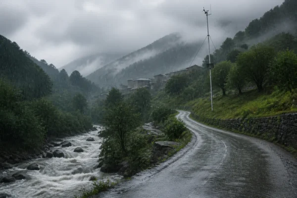
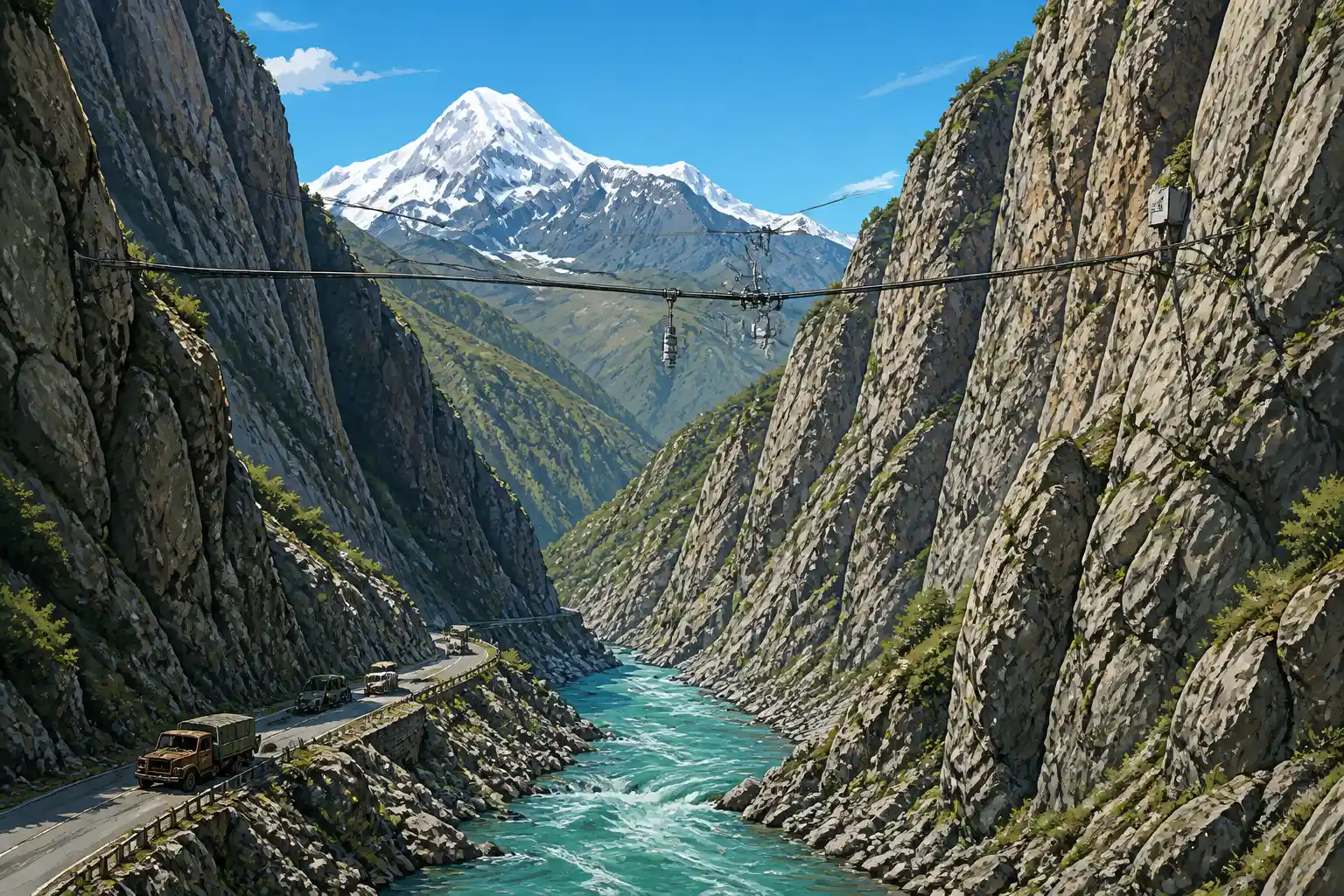
The Devdoraki early warning network sits in one of the Caucasus’s most active glacial corridors. After the 2014 disasters the National Environmental Agency hired Swiss firm GEOTEST to design and install it. Work finished in autumn 2016.
Two main stations form the core:
- A high monitoring post at roughly 3,000 meters with solar cameras that track glacial movement on Mount Kazbek via feature tracking and image transfer
- An alarm station lower in the gorge, about 3.5 km upstream of the road and border infrastructure
The alarm station carries two gauge radars on cables across the channel to measure flow height, infrared webcams for night checks, and physical trigger lines that break and sound the alert. Data feed a protected portal for the National Environmental Agency. Status reports run around the clock.
The system does not stop a debris flow. It buys minutes to hours so people can leave and the road can close. Full Swiss-designed early warning system details emphasize that long-term safety still needs tunnels or structural barriers.
Georgia has since pushed a larger nationwide multi-hazard early warning scaling effort that folds glacial risks into flood and landslide networks.
Shadows of 2014 Still Shape Every Alert
Devdoraki Glacier has produced catastrophic debris flows for centuries. Written records reach back to 1776. The modern benchmark remains May 17, 2014.
- May 17, 2014: Massive debris flow from the upper Devdoraki slopes buried the junction with the Terek. Roughly 5 million cubic meters of material moved. Eight people died (other tallies list nine). The flow wrecked sections of the Georgian Military Road, severed the North-South gas pipelines to Armenia, damaged the Dariali hydropower plant intake, and stranded border staff who later needed helicopter extraction.
- August 20, 2014: A second major event struck the same corridor, adding further fatalities and infrastructure hits.
- June 2016: A large secondary landslide blocked the main road again.
- July 2025: Nearly identical early-warning evacuation of the same checkpoint after sensors detected water-flow rises; no major surge followed.
- August 13, 2026: The latest sensor trip and same-day lift.
A detailed Georgian geological study of the 2014 events recorded boulder sizes of 5-6 meters, temporary damming of the Terek, and total paralysis of strategic links. The full account of 2014 catastrophic debrisflow volumes and damage remains the clearest primary record.
| Event | Deaths | Key damage | Outcome for crossing |
|---|---|---|---|
| May 2014 | 8-9 | Road, dual gas pipelines, HPP, power lines | Prolonged closure, helicopter rescues |
| Aug 2014 | Additional | Further road and valley infrastructure | Second major disruption same year |
| July 2025 | 0 | None reported | Hours-long evacuation and road stop |
| Aug 2026 | 0 | None | Same-day reopen after sensor alert |
Climate data cited in later reporting show Caucasus ice-mass loss accelerating from about 0.4 percent per year before 2000 to more than 1 percent after. Alerts are expected to grow more common even when full surges do not materialize.
Seventeen Who Waited in the Basement
While customs officers and police left under protocol, another group received roughly one hour to gather belongings. Seventeen Ukrainian citizens had been living for about a year in a windowless basement room at the Dariali checkpoint. Most had been expelled from Russia and then denied international protection by Georgia. Courts upheld the refusals. Lawyers described chronic illness, lack of ventilation and medical care; one person lost an eye after delayed treatment.
According to reports carried by Sota News and the APUS project, staff loaded them onto a truck and drove them several hundred meters away from the buildings. Lawyer Daria Samodurova noted that no further transport was planned. For the first time in many months the group stood on undisputed Georgian territory rather than inside the transit zone. Their legal status remains unresolved; non-refoulement protections had already lapsed after the protection denials.
Earlier waves of stranded Ukrainians numbered in the dozens to nearly a hundred. In August 2025 Ukraine arranged a charter that brought 65 home. The residual group stayed. The glacier alert did not solve their case. It simply moved their bodies out of the risk zone and, briefly, out of legal limbo.
This is not a matter of one or two days, but of a year.
Lawyer Daria Samodurova wrote that line months earlier when describing the basement conditions. The August 13 move made the sentence literal again: the year ended, at least for a few hours of open air.
Only Road North Carries the Load
Dariali (also called Upper Lars or Kazbegi checkpoint) is the sole legal land crossing between Georgia and Russia. It sits inside Kazbegi National Park’s Dariali Valley, a narrow canyon that funnels the Terek River and the old Georgian Military Highway.
The crossing handles private cars, buses, trucks and the heavy seasonal flow of tourists, traders and third-country travelers. Throughput upgrades raised capacity to roughly 13,000 people per day years ago, yet summer queues still stretch 10 to 20 hours, especially Georgia to Russia. Winter weather and landslides close it repeatedly; one recent full-year tally recorded 42 closures and more than 200 cumulative hours shut in a single February.
Detailed traveler logs of Upper Lars crossing closure and queue patterns show August as the peak congestion month even when the road stays open. A glacier alert therefore does not merely empty a building. It freezes the only overland artery linking the two countries and the Armenian transit route that often relies on it.
Russian and Georgian customs coordinate reopenings. On August 13 the Georgian side cleared the risk first and traffic resumed the same evening.
What the Warning Bought This Time
No surge arrived. The sensors did their job: people left, the road closed, the all-clear came before night. The 2014 body count and pipeline cuts no longer define every summer. That is the quiet success of the 2016 installation.
At the same time the alert dragged a forgotten human file into daylight. Seventeen people who had nowhere else to stand found themselves, for a few hours, outside the basement and outside the transit zone. Hazard protocol and migration limbo collided in the same canyon.
Future alerts will keep coming as the glaciers thin. Each one will empty the checkpoint again. Each one will also test whether the people living in its shadow receive the same automatic priority as the officers who staff it. On August 13 the system worked for everyone who stood above ground. The ones who had lived under it simply got moved a few hundred meters and left to wait once more.
Frequently Asked Questions
What triggers the Devdoraki early warning system?
Gauge radars measure even small rises in water or debris flow height in the gorge channel; physical trigger lines break if a surge hits them; high cameras track glacier movement on Mount Kazbek. Any confirmed anomaly sends automatic alerts to border police and the National Environmental Agency.
How many people died in the 2014 Dariali debris flows?
Georgian geological reports list eight victims on May 17, 2014; other tallies and later summaries place the combined 2014 death toll at nine. The flows also destroyed major sections of road, gas pipelines and hydropower infrastructure.
Is Dariali the only land border between Georgia and Russia?
Yes. The Upper Lars / Kazbegi / Dariali checkpoint is the sole legal overland crossing. All other historical routes remain closed for political or security reasons.
When was the current early warning system installed?
GEOTEST of Switzerland completed installation in autumn 2016 after a post-2014 hazard assessment ordered by Georgia’s National Environmental Agency. Monitoring and alarm stations have operated continuously since then.
What happened to the Ukrainians living in the Dariali basement?
On August 13 they received about one hour to pack, were trucked several hundred meters from the buildings, and for the first time stood on open Georgian territory. Their longer-term legal status and housing remain unresolved after earlier denials of international protection.