A powerful winter storm dumped more than half a foot of snow across parts of north Georgia on Saturday as satellite images now reveal the widespread white blanket covering the landscape and reaching into the Carolinas. Satellite weather technology captured the storm’s reach from space providing rare visuals of snow in a state unaccustomed to such heavy winter weather. Residents are dealing with icy roads, bitter cold, and travel disruptions as the storm’s effects linger into the start of the week.
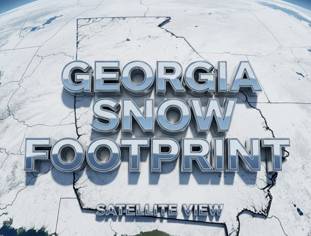
Snow Blankets North Georgia as Weather Satellites Show Scale
Weather satellites over the southeastern United States clearly shown vast swaths of snow on the ground this weekend, marking a striking image against the normally temperate landscape. The imaging offers meteorologists and residents a high level view of this rare accumulation. Georgia, especially in its higher elevations, saw substantial snowfall that stretched toward the Carolinas where the storm system intensified further.
Snowfall was heaviest in the far northeast of the state, where elevation and colder air helped produce significant totals. Clayton County saw the largest reported accumulation with eight inches of snow, followed by Tiger with 7.5 inches and Cornelia with seven inches. Other communities such as Buford and Clarkesville reported six inches each, while several counties across North Georgia recorded between four to five inches.
These figures represent a major winter event for much of Georgia, especially considering that metropolitan areas like Atlanta normally only average a couple of inches of snow annually and often only see trace flurries.
Severe Weather System Was Part of Larger National Storm
Meteorologists say this event was tied to a large and rapidly strengthening winter storm that affected much of the southeastern and eastern United States from late January into February 1. Known in weather circles as the January 30 to February 1 winter storm, this system became a bomb cyclone as it strengthened off the East Coast, bringing heavy snow, strong winds and dangerously cold temperatures across a broad swath of the country.
The storm caused record snowfall in parts of the Carolinas and significant travel disruptions. In North Carolina, hundreds of vehicles were involved in pileups, underscoring how heavy snow and ice can strain infrastructure and public safety.
Experts point out that Georgia’s winter storm was an extension of this larger system sending subfreezing air deep into the Southeast alongside moisture that produced snow in places that rarely see it. Forecasts ahead of the event warned of up to six inches of snow in northern Georgia, with a Winter Storm Warning covering a wide region.
Roads Icy and Hazardous As Cold Locks In
After the snow fell, weather and emergency officials warned that the danger did not end with the last flake. Temperatures plummeted following the storm, with widespread subfreezing conditions expected to last through the early part of the week. Authorities issued Extreme Cold Warnings for North and Central Georgia, forecasting wind chills near or below zero, a rare and dangerous condition for the region.
State transportation agencies deployed crews to clear roads, but icy patches remain on major highways, neighborhood streets and bridges. Drivers are being urged to slow down, avoid sudden braking, and give plow and maintenance crews room to work. Emergency response teams reported an increase in weather-related incidents, including vehicles slipping off snowy roads and localized delays.
Public safety messages stress that untreated roads can remain slick, especially overnight, and that even a light layer of ice can cause crashes. Residents are advised to only travel if necessary, plan extra time for journeys, and carry emergency supplies in case of breakdowns.
Community Impact and Local Responses
The snow and cold have disrupted daily life in a state where winter storms of this scale are unusual. Schools in several counties adjusted their schedules, with remote learning or closures planned due to hazardous conditions on Monday morning. Local governments opened warming centers to help vulnerable residents cope with the deep freeze, offering safe places to stay and reducing risk of cold-related illness.
Utility crews are also on alert as extended cold increases demand for power and heightens the risk of pipe bursts and other infrastructure problems. Officials ask residents to report outages quickly and conserve energy where possible.
In many communities, residents have shared photos and videos of snow-covered streets, rooftops and landscapes, a rare sight in southern Appalachia and lower elevations of Georgia. Social media posts and local news have shown families making the most of the conditions, but the overall message from authorities remains one of caution.
Snowfall Highlights
-
8 inches in Clayton County
-
7.5 inches in Tiger
-
7 inches in Cornelia
-
6 inches in Buford and Clarkesville
-
4 to 5 inches across wide swaths of north Georgia
Georgia’s snowfall was part of a broader picture of extreme winter weather across the United States this season, illustrating how powerful atmospheric systems can bring snow to unexpected places and disrupt daily life in communities unaccustomed to persistent cold.
As snow melts and roads continue to thaw and refreeze, drivers and residents are urged to stay weather aware and heed advisories from the National Weather Service and local authorities. Comment below with your experience of this unusual snow event and share your photos using the hashtag GeorgiaSnow2026 if you posted them on social media.