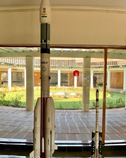
GSLV-F16 lifts off from Sriharikota, placing the 2,392-kg satellite into orbit to track Earth’s land, oceans, ice and crops with unprecedented precision
With a thunderous roar and a trail of flame slicing through the sky, India’s GSLV-F16 rocket soared into the air on July 30, carrying a satellite unlike any other. NISAR — short for NASA-ISRO Synthetic Aperture Radar — has officially launched, marking a historic collaboration between the world’s two biggest space agencies.
The satellite, which will orbit the Earth 747 kilometers above ground, is expected to revolutionize how scientists monitor changes on the planet’s surface — from melting glaciers to shifting tectonic plates, farmland yields to disaster zones.
Launched from the Satish Dhawan Space Centre in Sriharikota at 5:40 p.m., the mission is being described as a “milestone moment” by officials on both sides of the partnership.
Eighteen Minutes That Changed Earth Observation Forever
At precisely 5:40 p.m., the GSLV-F16 rocket blasted off from the second launch pad, pushing the 2,392-kilogram payload through thick monsoon clouds. Eighteen minutes later, confirmation came: NISAR had been injected into its intended sun-synchronous orbit.
For the Indian Space Research Organisation (ISRO), it was the culmination of years of planning. For NASA, it marked its first ever hardware payload launched aboard an Indian rocket.
“This is a proud moment,” said ISRO Chairman V. Narayanan. “The GSLV-F16 vehicle has successfully and precisely injected the NISAR satellite into orbit.”
NASA Administrator Bill Nelson also praised the collaboration, saying, “NISAR will transform how we see and understand our planet.”
What Makes NISAR So Special?
NISAR is no ordinary satellite. In fact, it’s the most advanced radar-imaging satellite ever built specifically to study Earth.
The key technology? Dual-band Synthetic Aperture Radar (SAR). It allows NISAR to detect incredibly small changes — just millimeters — on the Earth’s surface.
This means the satellite can track things like:
-
The sinking or uplift of land due to tectonic stress
-
Glacial retreat and sea-level rise
-
Crop growth and forest health
-
Floods, landslides, and other natural disasters in near real-time
One ISRO scientist called it “a satellite that listens to Earth breathe.”
Who Built What: The India-US Space Split
The NISAR project began way back in 2014, but it took a decade of careful cooperation to bring it to the launchpad.
Here’s a quick breakdown of the work:
-
NASA provided the L-band SAR radar, a high-precision payload with a 12-meter deployable antenna
-
ISRO built the S-band radar, satellite structure, launch vehicle (GSLV-F16), and integration systems
-
Both agencies jointly handled mission operations and data processing pipelines
The total cost of the mission is estimated at around $1.5 billion, split between both agencies.
What Happens Next: A Satellite with Real Jobs
NISAR will orbit Earth every 12 days, scanning the entire globe using its dual-frequency radars. Unlike optical satellites that can’t see through clouds or nighttime, SAR satellites like NISAR operate 24/7, in all weather.
Its mission spans several real-world applications:
-
Helping governments monitor deforestation in real time
-
Supporting disaster relief efforts after earthquakes or floods by mapping damage zones quickly
-
Providing critical data to farmers and agricultural planners on soil movement and crop health
-
Assisting researchers in glacial melt analysis and sea-level change modeling
This isn’t science fiction — it’s satellite science doing work on the ground.
Sriharikota’s Growing Role in Global Space Science
The launch is another feather in Sriharikota’s cap.
Located on the eastern coast of Andhra Pradesh, the Satish Dhawan Space Centre has hosted nearly every major ISRO mission — from Chandrayaan lunar missions to commercial satellite launches for countries around the world.
But NISAR stands apart because it symbolizes something more: a maturing space relationship between India and the U.S., grounded in science rather than politics.
In the past 12 months, NASA and ISRO have also signed memorandums for human spaceflight cooperation, including astronaut training and docking technology.
A Closer Look at NISAR’s Capabilities
Let’s break down what NISAR will do once operational:
| Feature | Description |
|---|---|
| Orbit | Sun-synchronous, ~747 km above Earth |
| Instrumentation | Dual-frequency SAR (L-band by NASA, S-band by ISRO) |
| Antenna Size | 12-meter deployable mesh reflector |
| Observation Frequency | Every 12 days (global coverage) |
| Accuracy | Detects movements as small as 1 centimeter |
| Data Volume | Will produce 85 terabytes of raw data annually |
| Lifespan | Designed for 3 years, likely extendable to 5 years |
This will be the first satellite to map Earth’s surface deformation systematically across both tectonic and volcanic zones at this scale and resolution.
A Moment of Shared Triumph
As the rocket’s roar faded over Sriharikota and control rooms erupted in applause, a quiet but powerful truth took root — India and the U.S. can do more together than apart.
NISAR is not just a machine in the sky. It’s a symbol. Of cooperation. Of scientific ambition. Of shared responsibility to understand, protect, and manage our changing planet.