Metro Atlanta is not about to be buried under snow, despite dramatic maps racing across social media feeds. Forecasters say the real story is calmer, clearer, and a lot less click-friendly, even as winter keeps Georgians on edge after years of icy surprises.
No Snow on the Official Forecast, Despite the Buzz
If you live in metro Atlanta and you’re staring at your phone wondering whether to cancel plans, here’s the straight talk: there is no measurable snow in the official forecast for the next 10 days.
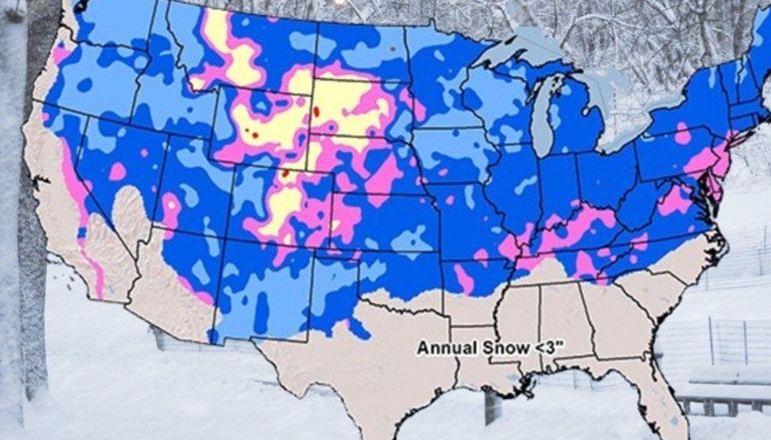
That message comes from the meteorologists at FOX 5 Atlanta, who say the viral snow graphics making the rounds online are not forecasts at all. They’re single snapshots pulled from weather models, often shared without context or verification.
Alex Forbes, a meteorologist with the FOX 5 Storm Team, has been blunt about it.
One-off model runs, he says, are unreliable and can easily mislead people into thinking something dramatic is coming when it’s really not.
Basically, if every snowy model image were treated as truth, Atlanta would’ve had four or five winter storms already this season.
It hasn’t.
Weather Models Are Tools, Not Promises
The confusion comes from a misunderstanding of how forecasting actually works. A weather model is just one tool, not a finished product.
Think of it like GPS navigation. You plug in a destination and get several possible routes. Traffic changes, accidents pop up, and suddenly the “fastest route” shifts. You still decide where to drive.
Forecasting works the same way.
Meteorologists review many models, compare trends, discard outliers, and then use experience to decide what’s realistic. A single model flashing snow over Atlanta doesn’t mean snow is coming. It means that, in one mathematical scenario, conditions lined up just right.
And those scenarios change. Constantly.
Forbes put it plainly: if meteorologists showed the public every model run that hinted at snow, people would panic all winter long. That’s why professionals filter the noise and focus on consistency, not shock value.
Social Media Snow Maps Spread Faster Than Cold Air
Snow maps go viral because they tap into something emotional. Georgians remember past storms vividly, especially the ones that turned highways into parking lots.
But social media rewards drama, not accuracy.
A colorful map showing white splashed across Georgia spreads faster than a calm forecast saying “cold rain.” Add a few emojis, maybe a countdown, and suddenly people are convinced something big is brewing.
The problem is that these maps often lack timing, probability, or verification. Some don’t even specify which model run they came from.
And once they’re shared, corrections never travel as far.
Meteorologists say this creates unnecessary anxiety, especially for parents, schools, and workers who remember how badly winter weather can disrupt daily life here.
La Niña Makes Georgia’s Winter Tricky, Not Snowy
Zooming out a bit, winter 2025–26 is shaping up to be unpredictable, just not in the way viral posts suggest.
According to National Oceanic and Atmospheric Administration, North Georgia is facing “equal chances” of above- or below-normal temperatures this winter. That usually points to variability rather than prolonged cold.
The driver is a neutral La Niña pattern.
In Georgia, La Niña winters don’t guarantee snow. What they often bring instead is temperature whiplash. Cold air arrives. Rain follows. Then temperatures drop fast.
That rain-to-ice transition is the real threat.
It’s sneaky, dangerous, and far more disruptive than a fluffy snowstorm. Roads glaze over, bridges freeze first, and suddenly a normal commute turns chaotic.
One sentence says it all: ice shuts Atlanta down faster than snow ever will.
History Shows It Doesn’t Take Much
Atlanta averages about 2.2 inches of snow per year. That’s it. Yet the city’s winter weather history reads like a cautionary tale.
A few examples still loom large in people’s minds:
-
January 2014: Just 2.6 inches of snow, but flash-freezing stranded thousands of commuters for up to 20 hours.
-
January 2025: Two winter storms in two weeks dropped over 2 inches of snow and a significant layer of ice, grounding more than 1,000 flights.
-
January 2011: Snow and ice shut down roughly 70% of the state for nearly five days.
-
March 1993: The “Storm of the Century” dumped 4.2 inches in Atlanta and feet of snow in North Georgia.
None of these events were massive by northern standards. But Georgia’s infrastructure, driving habits, and road treatment methods make even minor winter weather a big deal.
That’s why people react so strongly to snow graphics, even when they’re misleading.
Why Trusted Forecasts Matter More Than Ever
Meteorologists aren’t dismissing winter risks. They’re narrowing them.
Right now, the FOX 5 Storm Team sees a quiet 10-day stretch ahead for metro Atlanta. No snow. No ice. Just cold spells and rain chances, nothing more.
That could change later in the season. It always can.
But changes will come through verified forecasts, not a lone model screenshot on social media.
Forbes stressed that trust matters. When a forecast comes from a professional team, it reflects hours of analysis, cross-checking, and local experience. It’s not a guess. And it’s definitely not a hype post.
You know, weather already brings enough surprises without adding confusion on top.
The Bottom Line for Georgians Watching the Sky
If you’re seeing snow maps online, pause before sharing. Ask where they came from. Ask whether they’re forecasts or just models.
Right now, Atlanta isn’t headed for a snowstorm.
Winter in Georgia is still a wild card, especially with ice, but panic isn’t warranted today. Staying informed through reliable local forecasts beats scrolling through dramatic graphics every time.